Useful information about the taxon (species, subspecies, variety...)
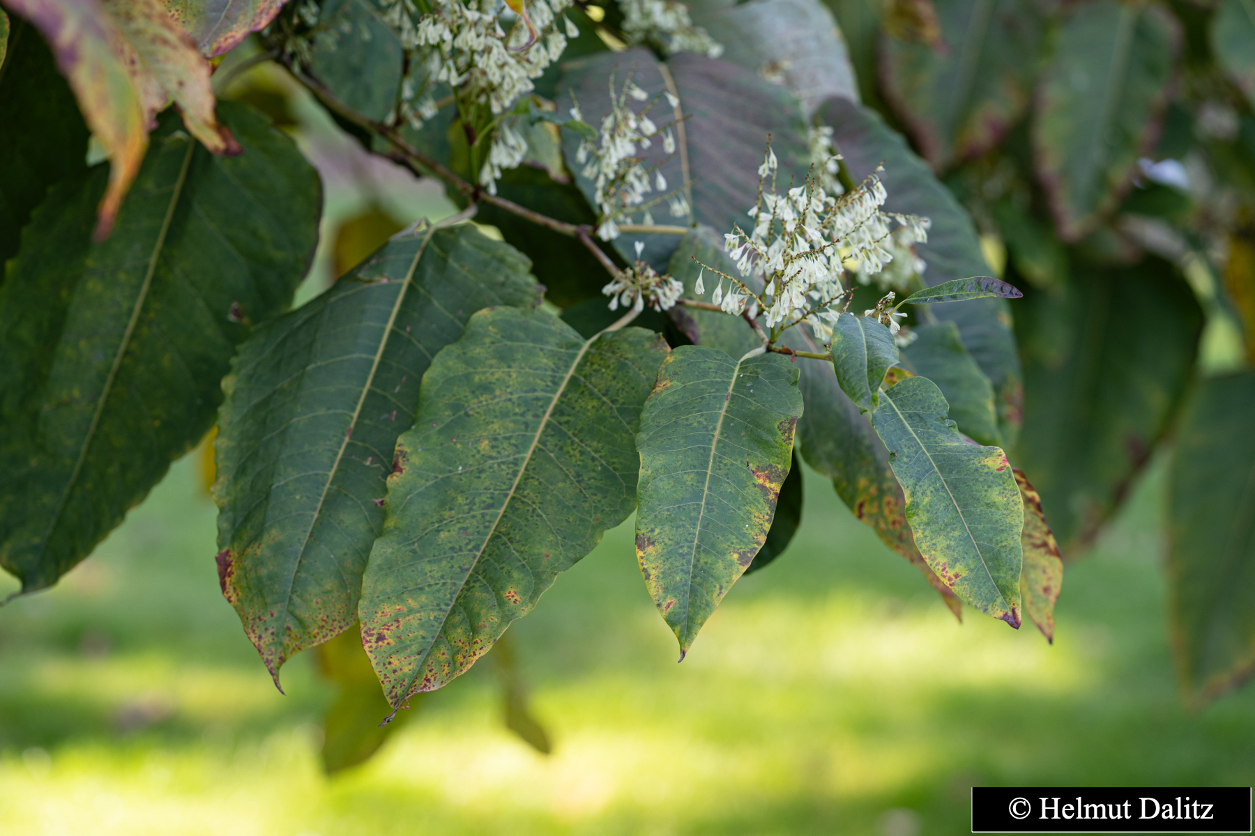
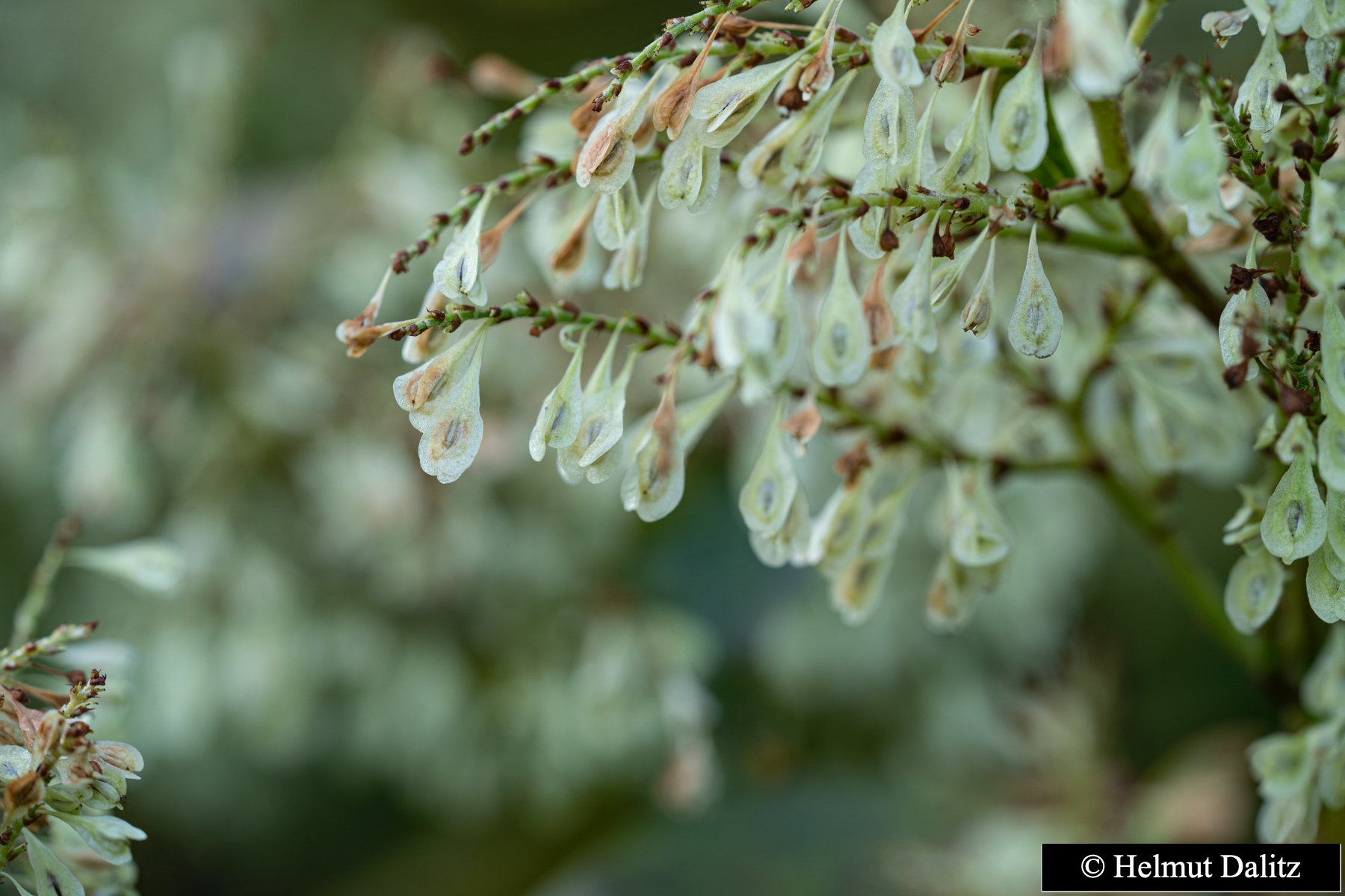
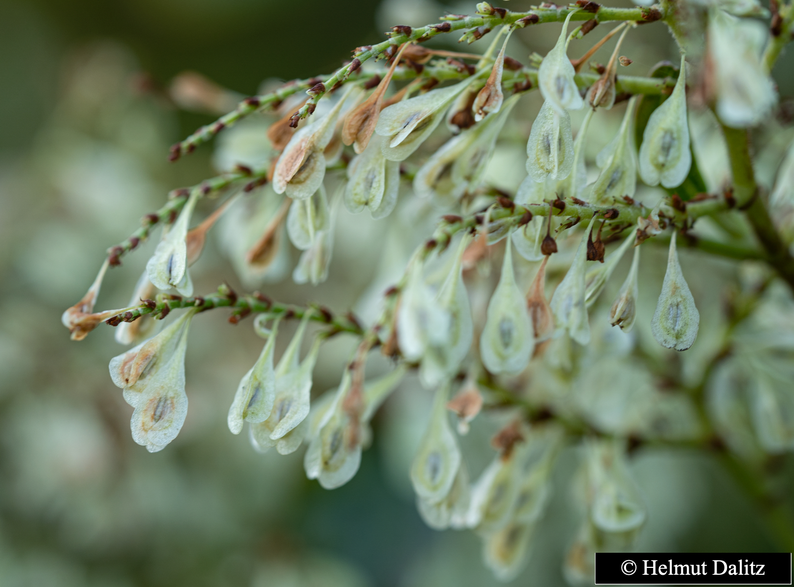
Reynoutria sachalinensis (F. Schmidt) Nakai 1922
Polygonaceae (APG IV)
Taxon concept: The Plant List (2014), version 1.1
Fallopia sachalinensis (F. Schmidt Petrop.) Ronse Decr. - Accepted: Fallopia sachalinensis (F. Schmidt Petrop.) Ronse Decr. bei Zander 2008; Familie: Polygonaceae (Zander 2008)
Reynoutria sachalinensis (F. Schmidt) Nakai - Synonym: Fallopia sachalinensis (F. Schmidt Petrop.) Ronse Decr. bei Zander 2008; Familie: Polygonaceae (Zander 2008)
Fallopia sachalinensis (F. Schmidt Petrop.) Ronse Decr. - Accepted: Fallopia sachalinensis (F. Schmidt Petrop.) Ronse Decr. bei The Plant List (2010); Familie: Polygonaceae (APG III)
Reynoutria sachalinensis (F. Schmidt) Nakai - Synonym: Fallopia sachalinensis (F. Schmidt Petrop.) Ronse Decr. bei The Plant List (2010); Familie: Polygonaceae (APG III)
Reynoutria sachalinensis (F. Schmidt) Nakai - Accepted: Reynoutria sachalinensis (F. Schmidt) Nakai bei The Plant List (2014), version 1.1; Familie: Polygonaceae (APG III)
- Life form
- herbaceous, terrestrial, perennial
Erhardt, W., Götz, E., Bödeker, N. & Seybold, S. (2008): Der große Zander. Enzyklopädie der Pflanzennamen. Band 2. Arten und Sorten. Eugen Ulmer KG, Stuttgart (Hohenheim), 18. Aufl., 2103 S.;
Pritsch, Günter et al. (2007): 200 Trachtpflanzen erkennen und bewerten.. Kosmos, Stuttgart;
Schick, B. & Spürgin, A. (1997): Die Bienenweide. Eugen Ulmer Verlag, Stuttgart, Auflage: 4., völlig neubearb. u. erw. A., 216 S. 978-3800174188.;
The International Plant Names Index (2009). Published on the Internet http://www.ipni.org; Courtesy to IPNI, 2009. Exported from IPNI at date: 2009-09-22 20:17:51;

| Sex | Standort | Accession number | Planting year | Donation | IPEN | Lat. | Long. |
|---|
Last update:
Taxonomic update: Database method on: 28.3.2020Update of the description: Helmut Dalitz; latest by: Helmut Dalitz on: 26.9.2012
In the list below you will find the geographic coordinates of many woody plants in the garden. In these cases the points are marked in the map.
If no coordinates are listed, the coordinate of the point in the map marks the middle coordinate of the section.